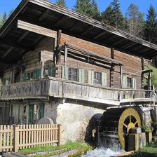
 Winter hike 27 Waidring Oberweissbach
EasyA winter hik ewith a magnificent view that can be combined with a cozy stop and a fun toboggan ride.
140 m
939 m
3,0 km
1:00 h
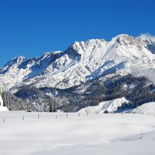
 Circular walk Hausberg
Easy
210 m
989 m
6,3 km
2:00 h
 Blachholzkapelle - Enthgrieß
Easy
45 m
937 m
7,2 km
1:55 h
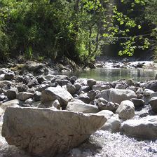
 Weßsbachschlucht gorge
Easy
220 m
1004 m
6,5 km
2:00 h
 St.Jakober high level trail
Easy
590 m
1330 m
11,5 km
4:15 h
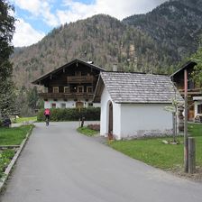
 Winter hike St. Jakob i.H. -Hochegg-Fieberbrunn
EasyAn idyllic, quiet winter hike at the foot of the Buchensteinwand along the Buchensteinwand circular trail. From the sunny village center you walk through the forest to above the hamlet of Vornbichl, w...
89 m
921 m
5,0 km
1:40 h
 Hackenschmiede - Schäferaukapelle - Kneippanlage
Easy
50 m
822 m
6,5 km
1:45 h
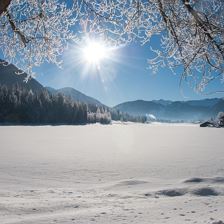
 Winter hiking Hochfilzen - Grießen
EasyA leisurely tour that leads from Tyrol to Salzburg via the Grießensee lake to the hamlet of Grießen without any major differences in altitude.
11 m
980 m
3,9 km
1:00 h
 Spielberg via Burgeralm
EasyA challenging tour to one of the most striking peaks of the region and with a little luck you will meet marmots and chamois along the track.
1180 m
2044 m
7,9 km
8:30 h
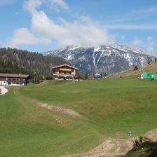
 Winter hiking St. Ulrich a.P. Aurunde
EasyA sunny winter hike through the hamlets of St. Ulrich am Pillersee. The path leads across open fields, beautiful nature and the scattered settlement area of the village. Who would like shortens the tr...
52 m
6,7 km
2:00 h