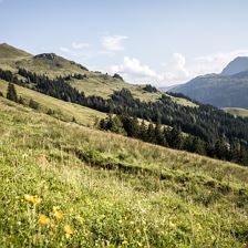
 Aschauer Höhenweg
EasyA moderately difficult tour in the Obere Grund, Aschau. The return route to Kirchberg is via the Höhenweg.
672 m
1455 m
26,3 km
2:45 h
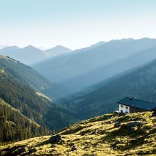
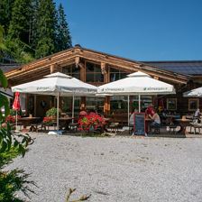
 257 Kobingerhütte
EasyBike tour from the Gaisberg lift to the Kobingerhütte.
681 m
1504 m
8,4 km
2:00 h
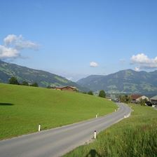 Racing Bike Tour: Wildschönau Round Trip
EasyA selective racing bike tour via Wörgl to Niederau returning to Westendorf.
601 m
882 m
36,2 km
2:00 h
 To the Filzenscharte and Rotwandalm
EasyModerately difficult mountain bike tour to the Filzenscharte and / or to the Rotwandalm in the Windau Valley.
1151 m
1683 m
45,6 km
4:30 h
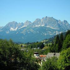
 Astberg Circuit
EasyA beautiful tour with a view of the Wilder Kaiser.
676 m
1182 m
28,0 km
3:00 h
 Road bike tour: World Cup circuit
EasyWonderful tour on the trail of the Cycling & Mountain Bike World Cup to the rear of the "Kaiser" with views of its famous climbing peaks.
422 m
813 m
75,0 km
 Gaisberg Circuit
EasyThe tour with the number 203 is route 202’s “Big Brother”, so to speak, as it involves a few more metres of altitude to the Gaisbergstüberl.
454 m
1265 m
8,7 km
1:15 h
 Rauher Kopf
EasyA tour of Kirchberg's local mountain, the Rauhen Kopf.
623 m
1440 m
15,8 km
2:00 h
 Road bike tour around the Wilder Kaiser
EasyA wonderful road bike tour via Kufstein, Walchsee and St. Johann. In other words: a tour around the Wilder Kaiser.
934 m
841 m
95,4 km
5:00 h
 Tour via Hochbrixen and Hochsöll to Itter and back to Brixen
EasyA very varied mountain bike tour via Hochbrixen, to Hochsöll, down to Söll, via Itter, Hopfgarten and Westendorf back to Brixen im Thale.
936 m
1290 m
36,3 km
4:00 h