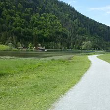
 Buchensteinwandrunde Nb. 17
EasyA circular tour around the Buchensteinwand, the panoramic mountain with the Jakobskreuz visible from far and wide. Special places and beautiful panoramas make the tour varied. You can start in any vil...
270 m
972 m
19,7 km
2:00 h
 Steinbergrunde - Skulpturenradweg
EasyA varied day tour that leads from Tyrol to Salzburg and back. Sculptures created by artists together with children can be admired as well as the Leoganger and Loferer Steinberge mountains, which are t...
450 m
1000 m
66,0 km
5:30 h
 Iglmoos Trail
EasyA somewhat more challenging single trail in difficulty level S2
0,8 km
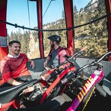 Loferer Alm Runde 241
EasyA three-country tour from the Steinplatte Waidring towards the Loferer Alm and Lofer. You can cover most of the altitude comfortably with the gondola Steinplatte.
500 m
1664 m
29,0 km
3:30 h
 Hörndlingergraben - "Hennerleiter" Spielberghaus 259 & 278
EasyRoute 278 via Gerstbodenalm in the direction of Saalbach Hinterglemm is closed until the end of August due to forestry work. The other routes into the Hörndlingergraben (route 259 to the Pulvermacher ...
880 m
1663 m
21,3 km
3:40 h
 Burgeralm - Spielberghaus 243
EasyThe shortest connection between Fieberbrunn and Saalbach with the highlight on the top of the tour - the alpine inn Spielberghaus.
460 m
1311 m
5,8 km
1:20 h
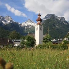 Waidring - Maria Kirchenthal
EasyThe beautiful pilgrimage church of Maria Kirchental is framed by the magnificent alpine backdrop of the Loferer Steinberge.
240 m
880 m
14,4 km
1:30 h
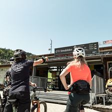
 The CHALLENGE Bike your Limit
EasyAustria's largest bike region challenges riders with THE bike loop of the summer
0,0 km
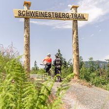
 Round trip Lärchfilzhochalm 256
EasyThe Fieberbrunner Hausrunde at the foot of the Wildseeloder, which can be ridden in two variants and has some highlights in store: rustic, cosy huts to stop at, the Schweinestberg Trail as an alternat...
840 m
1616 m
19,0 km
3:00 h
 Heutalrunde 237
EasyEine Drei-Ländertour von der Steinplatte Waidring Richtung Loferer Alm und Lofer. Die meisten Höhenmeter legt man dabei bequem mit der Gondelbahn Steinplatte zurück.
271 m
1646 m
38,0 km
4:00 h