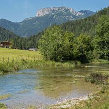
 L15 Dorf Loipe Waidring
Starting point: Parkplatz Steinplatte | KUHOTEL by Rilano
Destination point: Parkplatz Steinplatte | KUHOTEL by Rilano
Easy
Elevation uphill:
12 m
12 m
Highest point:
779 m
779 m
Distance:
2,8 km
2,8 km
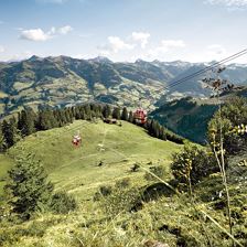
 Hopfgarten - GH Rigi (MTB Route 268)
Starting point: Wasserfeld Parkplatz P3
Destination point: Gasthaus Rigi
Easy
Elevation uphill:
930 m
930 m
Distance:
8,4 km
8,4 km
Time:
2:20 h
2:20 h
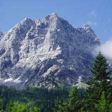
 Rehegg
Starting point: Hahnenkammbahn Bergstation
Destination point: Hahnenkammbahn Talstation
EasyWanderung durch Wald und Wiesen bis zur Bergstation der Hahnenkammbahn.
Highest point:
1658 m
1658 m
Distance:
5,3 km
5,3 km
Time:
2:00 h
2:00 h
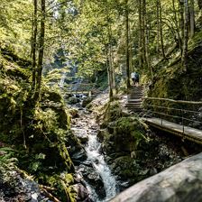 Eifersbacher Wasserfall Start Zentrum St. Johann in Tirol
Starting point: St. Johann in Tirol - Infobüro St. Johann in Tirol
Destination point: St. Johann in Tirol - Infobüro St. Johann in Tirol
EasySanft fließend. Laut tosend. Romantisch still. So erleben Sie das Wasser bei dieser Wanderung.
Elevation uphill:
277 m
277 m
Highest point:
880 m
880 m
Distance:
8,7 km
8,7 km
Time:
2:55 h
2:55 h
 Adolari-Runde
Starting point: Dorfzentrum St. Ulrich am Pillersee
Destination point: Dorfzentrum St. Ulrich am Pillersee
EasyHerrliche Runde durch St. Ulrich am Pillersee
Elevation uphill:
70 m
70 m
Highest point:
913 m
913 m
Distance:
8,2 km
8,2 km
Time:
2:30 h
2:30 h
 Aschaurunde
Starting point: Aschau Dorf
Destination point: Aschau Dorf
EasyIm Landschaftsschutzgebiet!
Elevation uphill:
390 m
390 m
Highest point:
1373 m
1373 m
Distance:
7,7 km
7,7 km
Time:
3:00 h
3:00 h
 Rundwanderung Hexenwasser
Starting point: Hohe Salve
Destination point: Hohe Salve
Easy
Elevation uphill:
775 m
775 m
Highest point:
1829 m
1829 m
Distance:
11,9 km
11,9 km
Time:
5:00 h
5:00 h
 Kaiserbachtal Radstrecke
Starting point: Kirchdorf - Ortszentrum
Destination point: Kirchdorf - Ortszentrum
EasyMittelschwere Tour in das naturbelassene Kaiserbachtal.
Elevation uphill:
468 m
468 m
Highest point:
989 m
989 m
Distance:
22,3 km
22,3 km
Time:
1:00 h
1:00 h